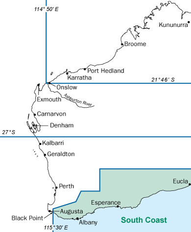
The South Coast Bioregion runs from Black Point, east of Augusta (115° 30' East longitude), to the WA/SA border.
In addition to the general fishing rules that can be found for our Statewide  Recreational fishing guide, please be aware of specific rules in this bioregion covering restricted and closed areas, including:
Marine reserves
Marine reserves include marine nature reserves, marine parks and marine management areas. Marine Parks are managed by the Department of Parks and Wildlife. However we manage fishing inside and outside marine reserves.
Marine reserves in the South Coast Bioregion include:
Specific fishing closures
Esperance Jetty; while you may fish from the actual jetty (also known as the Esperance Tank Jetty), you are not allowed to fish around what was the original end of the jetty, known locally as ‘the island’. The island is marked with a navigational beacon, shown in red in this
map. No fishing is allowed within the area indicated by the yellow line in the map.
Shannon River; closed to fishing, including all its tributaries and the Shannon Dam, upstream of the intersection of the Shannon River and the natural extension of Springbreak Road (34°52.333' S).
HMAS Perth wreck site; closed to fishing within 250 metres of the intersection of 35°04.788' S and 117°58.068' E.
Sanko Harvest wreck site; closed to fishing within 500 metres of the intersection of 34°07.307' south latitude and 122° 05.03' east longitude.
A number of species found in Western Australia waters are protected under the Fish Resources Management Act 1994 and may not be taken by either commercial, charter or recreational fishers.
Additional information is available if you are targeting specific species in the South Coast Bioregion:
There are also a number of recreational fisheries and fishing activities in the South Coast Bioregion which require a separate licence.
Make sure you are familiar with all the rules that apply in these areas and fishing activities before you make your trip. If you are unsure about the rules or need further advice, contact your local Department of Fisheries office.